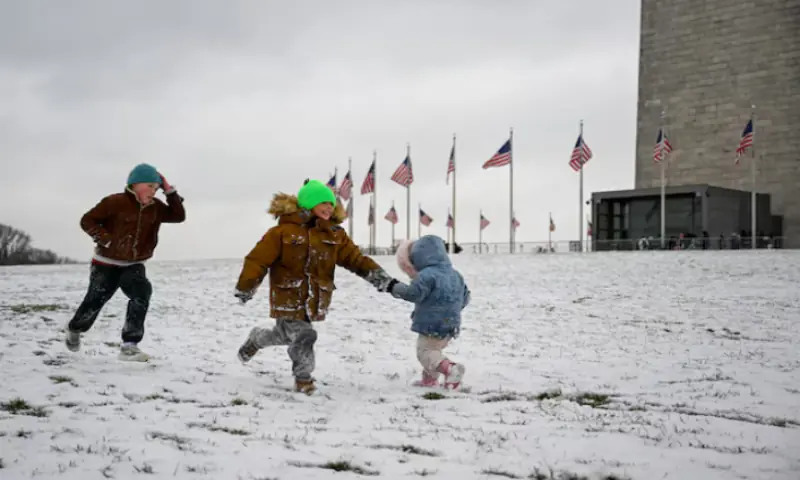
Arctic blast grips central, northeastern US in sub-freezing cold
2 min readA blast of Arctic air gripped much of the central and eastern portions of the US on Saturday in sub-freezing temperatures well below normal for this time of year, setting records from Iowa and Michigan to New York.
The frigid weather pattern stemmed from a fluctuation in the clockwise circulation of polar air, also known as the polar vortex, that was drawing icy air from Canada into the northern tier of the US, according to meteorologist Marc Chenard of the US Weather Prediction Centre outside Washington.
The Arctic chill, plunging temperatures as much as 20 degrees Fahrenheit below average, began on Thursday and was expected to persist in waves over the next week or two, making it the most extensive and intense cold snap of the season, Chenard said.
The official start of winter is still more than two weeks away.
“Cold air is spilling into the central and eastern parts of the country, coming down from the Arctic,” he said.
The deep freeze stretched from the northern Plains through the Great Lakes region and Ohio Valley into the mid-Atlantic and New England.
Colder-than-normal temperatures, though still above freezing, were expected to dip into the Southeast, according to Chenard.
Local weather forecasts in Indiana and Oklahoma called for the possibility of freezing fog, tiny super-cooled water droplets suspended in the air that can freeze on exposed surfaces, causing a dangerous road condition known as black ice.
On Thursday, temperatures fell to new benchmark lows in more than a dozen places across Iowa and parts of Wisconsin and Minnesota, Chenard said.
Iowa, where temperatures have been tracked since 1895, accounted for most of the record cold, including an all-time low on Thursday of 19 degrees below zero in the prairie town of Spencer, a full 10 degrees colder than its previous record of minus-9 degrees set in 2005.
Detroit appeared to have set a record low on Friday morning of 5 degrees above zero, 1 degree colder than the standing record, while the New York City-area airports of John F Kennedy and LaGuardia both posted low readings of 20 degrees, setting or tying their respective previous records, according to Chenard.
In upstate New York, the temperature plummeted to an apparent new bone-chilling record of minus-22 degrees, exceeding the previous record low of negative 20.
In addition to unseasonable cold, snow was expected in parts of the mid-Atlantic, the Midwest and the Rockies through Saturday, the National Weather Service said.
A storm system crossing the northern Plains and Midwest on Saturday will bring the potential for heavy snow at times, according to the forecast.
For the latest news, follow us on Twitter @Aaj_Urdu. We are also on Facebook, Instagram and YouTube.


Comments are closed on this story.