

Scientists unveil largest 2D map of the universe with 4 billion cosmic objects
2 min read



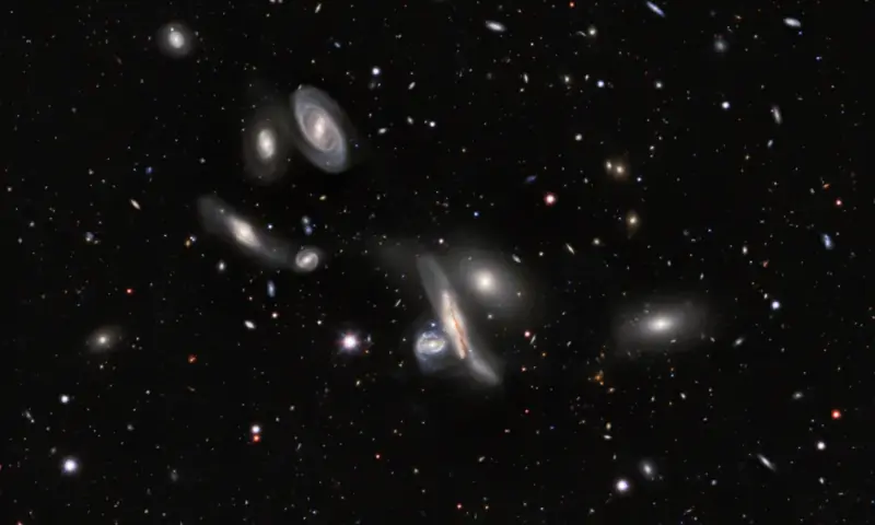
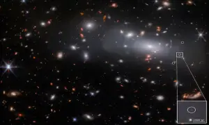
Astronomers have released the largest two-dimensional map of the universe to date, charting about 4 billion stars, galaxies, black holes, asteroids and other objects across roughly three-quarters of the night sky.
Compiled from 13 years of observations, the map combines visible and near-infrared light data and covers regions of space that are not obscured by dust or gas.
Its scale makes it too large to reproduce as a single image, but astronomers have made it available for public exploration through the free Legacy Survey Sky Browser.
The map was created using data from three ground-based sky surveys involving telescopes operated by the National Science Foundation and the University of Arizona.
The observations were also supplemented by years of data from NASA’s Wide-field Infrared Survey Explorer satellite mission.
The National Science Foundation’s NOIRLab said astronomers and citizen scientists can combine the map with their own observations to study the universe in greater detail.
Researchers can use the data to search for rare phenomena such as gravitational lenses and transient events including supernovae.
The map can also support research into dark matter, the invisible substance believed to account for most of the universe’s mass, and dark energy, which is associated with the universe’s accelerating expansion.
Previous versions of the map have contributed to at least 1,800 scientific papers, according to NOIRLab.
The latest version is expected to support future observing projects, including the Vera C. Rubin Observatory and NASA’s Nancy Grace Roman Space Telescope.
The maps have also provided a foundation for the Dark Energy Spectroscopic Instrument (DESI), which is creating a three-dimensional map of the universe by measuring the light from celestial objects to determine their distances.
DESI completed its first five-year survey in April. Early findings have raised the possibility that dark energy may be changing over time.
Improved results from the first five years are expected next year, while DESI’s work is scheduled to continue through 2028.
The three main telescopes used to produce the new map were the Dark Energy Camera on the National Science Foundation’s Victor M. Blanco 4-metre Telescope in Chile, the NSF Nicholas U. Mayall 4-metre Telescope at Kitt Peak National Observatory in Arizona, and the University of Arizona’s Bok 2.3-metre Telescope, also at Kitt Peak.
For the latest news, follow us on Twitter @Aaj_Urdu. We are also on Facebook, Instagram and YouTube.